
The topics in this group explain the igMap™ control of Ignite UI for jQuery™.
The igMap control provides functionality to visualize various kinds of maps based on the HTML5 canvas element and performs all rendering on the client-side.
This section contains topics covering igMap control.
igMap Overview: This topic provides conceptual information about the igMap control including its main features, minimum requirements, and user interaction capabilities.
Adding an igMap: This topic demonstrates how to add a simple map with basic features to a web page.
Data Binding (igMap): This topic explains how to bind the igMap control to different data sources depending on the map series visualized.
Styling Maps (igMap): This topic explains to customize the look-and-feel of the igMap control using themes.
Configuring Features (igMap): The topics in this group explain how to configure the various features of the igMap control. Features covered include navigation to specific geographic area, enabling/disabling of the Overview Plus Detail panel, getting the currently displayed area on the map, configuring interaction with the user regarding panning and zooming, configuring tooltip templates, and setting a custom marker.
Configuring the Map Series (igMap): The topics in this group explain how to configure all supported map types (map series) of the igMap control in order to produce many different kinds of maps.
API Links (igMap): The topics in this group explain how to configure all supported map types (map series) by the igMap control and thus produce different kinds of maps.
Accessibility Compliance (igMap): This topic explains igMap control’s accessibility features and provides advice how to achieve accessibility compliance for pages containing maps.
Known Issues and Limitations (igMap): This topic lists all known issues and limitations of the igMap control.
The following topics provide additional information related to this topic.
The following samples provide additional information related to this topic.
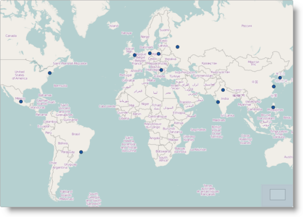
Geographic Symbol Series: This sample demonstrates how to create maps and visualize the Geographic Symbol series.
Geographic Shapes Series: This sample demonstrates how to bind shape files and database files to a map control and renders the Geographic shapes.
Bing Maps: This sample demonstrates how to use Bing® Maps to render a Geographic series with the map control.
View on GitHub